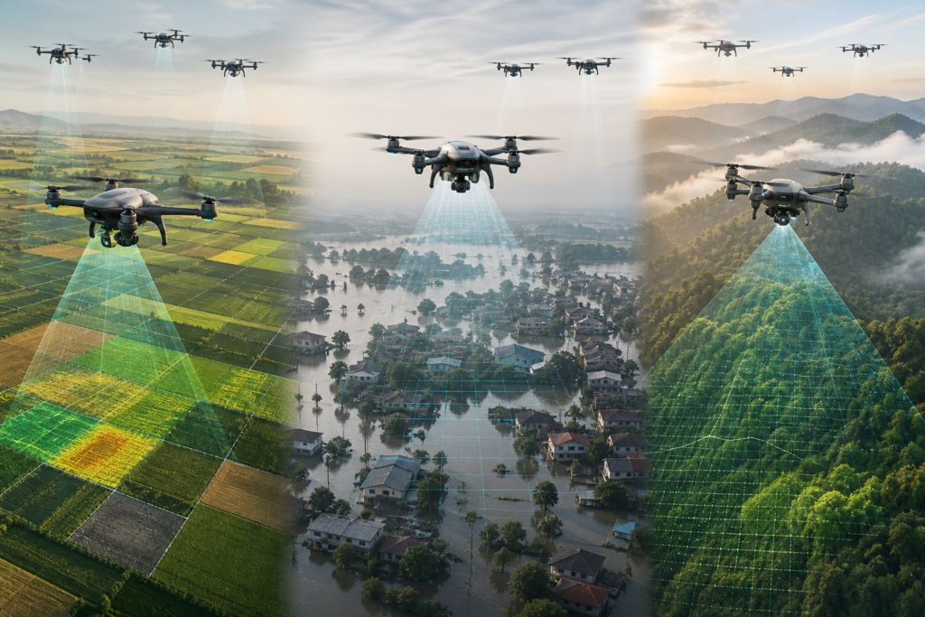
Teams of small, coordinated drones are moving from lab demos to real work in fields, over disaster zones, and across wide survey areas. This article explains drone swarms for agriculture, mapping, and disaster monitoring—what they can do today, how they differ from a single aircraft, and what rules and safety practices matter.
What is a drone swarm?
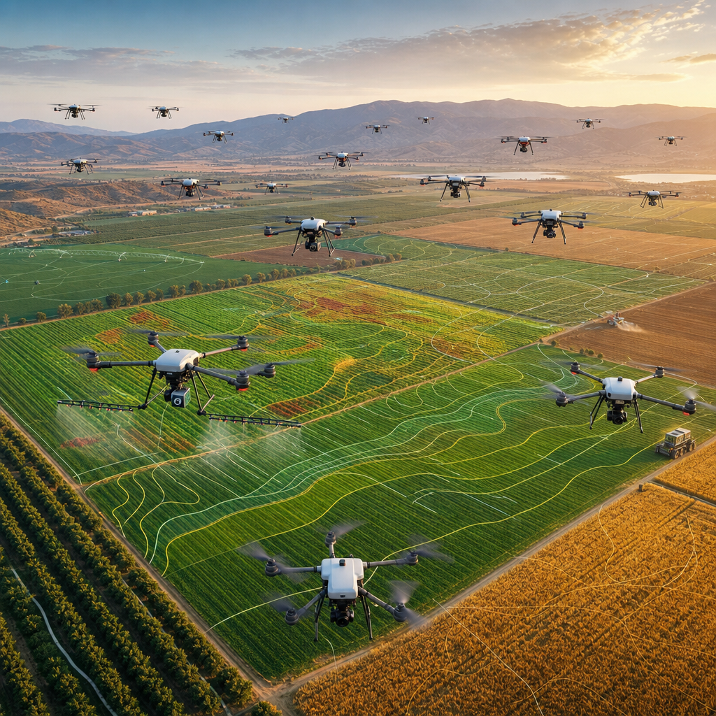
A drone swarm is a group of drones that plan and fly coordinated tasks toward a shared goal. Unlike sending one drone out, a swarm divides work—aircraft can launch together, follow deconflicted routes, share data, and cover more area in less time. In practice, “swarm” ranges from one pilot supervising several aircraft with a common plan to more advanced formations where aircraft exchange position and status over a mesh or cellular network. Today’s commercial swarms are typically supervised by a human, follow preplanned paths, and include procedures to avoid mid-air conflict and handle lost links.
Drone swarms in agriculture
Monitoring and crop insights
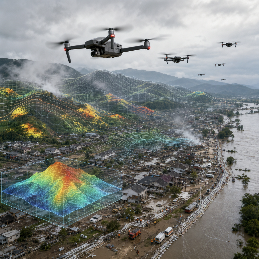
In precision farming, multiple drones can scan large fields quickly with RGB and multispectral cameras for NDVI crop mapping, plant vigor, and stand counts. Multi-drone mapping spreads the workload and keeps consistent lighting windows, improving orthomosaic quality and timely decisions on irrigation or fertilizer. Accuracy depends on flight altitude, sensor quality, overlap, and use of RTK/PPK and ground control points (GCPs).
Spraying and seeding
For application tasks, “drone swarm agriculture” systems can coordinate routes and refill cycles. Some vendors allow one controller to manage up to three precision farming drones for spraying under defined conditions. In the U.S., larger spray drones often exceed 55 lb and generally require exemptions under 49 U.S.C. §44807 and/or operations under Part 137. A limited number of approvals (for example, Hylio under specified limits) demonstrate what’s possible, but they include strict risk and operating constraints. Always check local rules on drift, buffer zones, and pilot responsibilities.
Multi-drone mapping outputs and accuracy
What swarms can produce
- Orthomosaic drone mapping: stitched, georeferenced imagery for fields, construction sites, or coastlines.
- NDVI and other vegetation indices: multispectral products for crop health.
- Dense photogrammetry or LiDAR point clouds: faster area coverage and improved point density when multiple aircraft fly coordinated grids.
How accurate is it?
Well-executed swarm surveys can match single-drone photogrammetry accuracy while finishing sooner. For mapping-grade results, use calibrated sensors, adequate sidelap/overlap (e.g., 70–80% as recommended by your software), RTK/PPK, GCPs, and consistent exposure settings across aircraft. Environmental factors (wind, lighting) and sensor mismatches are typical error sources; QC checks (checkpoints, reprojection errors) are essential.
| Factor | Single drone | Drone swarm |
|---|---|---|
| Coverage speed | Moderate | High (parallel sorties) |
| Redundancy | Low | Higher (task reallocation) |
| Pilot workload | Lower | Higher; needs tooling and procedures |
| Typical uses today | Routine mapping, single-field jobs | Large farms, time-critical surveys, incident response |
Disaster monitoring and search-and-rescue
Disaster monitoring drones in coordinated teams can quickly scan damage, find access routes, and maintain overwatch. Use cases include:
- Rapid assessment: multi-drone orthomosaics highlight blocked roads and building damage soon after an event.
- Wildfire and oil-spill monitoring: thermal/RGB payloads on several aircraft improve hotspot or sheen detection along long perimeters.
- Search-and-rescue: distributed lookout sectors, relay nodes that extend communications, and handoffs to ground teams.
Real operations must plan for weak or disrupted GNSS and cellular coverage, potential RF interference, and airspace deconfliction with crewed responders.
Regulations, permissions, and drone swarm safety
- United States (baseline): Under Part 107, operating more than one small UAS at a time requires a §107.35 waiver. Heavier agricultural drones (often >55 lb) typically need exemptions under §44807 and/or certification for agricultural aircraft operations (Part 137). Some approvals allow limited multi-UAS spraying per pilot with strict conditions; they do not permit unlimited aircraft.
- Remote ID and UTM: ASTM F3411-22a defines Remote ID. For airspace services and USS interoperability (planning, conformance monitoring), see ASTM F3548-21. These support coordinated operations but do not, by themselves, guarantee deconfliction—operators still need procedures and, where required, waivers/authorizations.
- Europe: The U-space framework (Implementing Regulation (EU) 2021/664) enables higher-density, automated operations via certified U-space Service Providers (USSPs) offering services like flight authorization and traffic info.
- Networks: 3GPP Release-17 (TS 23.256) specifies 5G support for UAS connectivity, identification, and tracking, complementing Remote ID and UTM workflows.
- Operational rules: Maintain visual line of sight unless specifically authorized; brief roles for observers; define lost-link and geofencing; log flights; protect privacy; and validate payload safety (e.g., spray drift controls). Conduct a thorough risk assessment for pilot workload, deconfliction, and emergency procedures.
Practical use-case: A morning vineyard health survey
A grower launches three small drones preloaded with identical grid plans. Each flies a separate block at the same altitude using RTK. The fleet finishes before midday lighting changes, uploads imagery to one project, and produces NDVI crop mapping and an orthomosaic by afternoon. Blocks with stress alerts are tagged for targeted scouting the next day. The same workflow with a single drone would take longer and risk inconsistent lighting.
Risks and challenges to manage
- Pilot workload and deconfliction: Clear human-supervision limits, lock-step planning, and spacing are essential.
- Communications resilience: Plan for jamming, multipath, and dropouts; consider mesh or multi-link redundancy and robust return-to-home policies.
- Cybersecurity and data integrity: Protect links, mission data, and command systems.
- Environmental impact: Noise, wildlife disturbance, and, for spraying, drift and buffer compliance.
- Data quality consistency: Calibrate sensors across aircraft; standardize camera settings and timing.
- Compliance and privacy: Meet Remote ID rules, respect local airspace, and handle personally identifiable imagery responsibly.
Future outlook
Expect steadier progress from “single pilot, few drones” to denser operations supported by UTM/U-space services and resilient 5G connectivity. Standards like ASTM F3548 and F3411 and 3GPP Release-17, plus agency programs, will enable more repeatable, auditable swarm workflows. Research on distributed SLAM and GPS-denied exploration hints at faster post-disaster surveying. Even so, scaling will depend on approvals, robust risk management, and community acceptance.
Momentum of Drone Swarm Applications in Civil Uses
This visual uses relative trend strength, not exact market statistics.
Regional Adoption Drivers for Drone Swarms
A simple regional view of where this trend can create impact.
Strong trials for wildfire watch and corridor mapping; large-scale farms drive ROI; expanding BVLOS waivers but patchwork state rules and rural connectivity gaps.
Harmonizing rules under EASA; subsidies and sustainability goals favor precision ag; strict privacy/noise norms and conservative airspace integration slow scale.
High-volume manufacturing and service providers; widespread crop spraying heritage; frequent typhoon/earthquake response needs; dense airspace and export controls vary by country.
Swarms-as-a-service for smallholders, land-rights mapping, and flood monitoring; donor-backed pilots; constraints include cost, import duties, and power/connectivity limits.
Adoption Path for Drone Swarms: Agriculture, Mapping, Disasters
-
Now
Operational pilots and early services with 3–20 drones; frequent use in crop scouting, wildfire hotspot mapping, and rapid orthomosaics; manual fleet oversight and battery swaps; activity concentrated in test corridors and sandboxes. -
Next 2-3 years
Routine BVLOS in defined corridors; mobile charging docks and field trailers; standardized fleet coordination and handoff procedures; richer sensor mixes (multispectral, thermal, gas, LiDAR) with turnkey GIS/farm system integration; municipal and utility procurement grows. -
Long term
Region-scale, mixed-airframe swarms with persistent coverage; interoperable standards across agencies and vendors; resilient ops with mesh comms and GNSS alternatives; pay-per-acre and per-incident models mainstream; greater weather tolerance and automated logistics chains.
FAQ
What is a drone swarm and how is it different from using a single drone?
A swarm is a coordinated team of drones that divide a mission and fly deconflicted paths, often under one pilot’s supervision. Compared with one drone, swarms cover more area faster and add redundancy, but they increase planning complexity and regulatory/safety requirements.
What mapping outputs can swarms produce, and how accurate are they?
Common outputs include orthomosaics and vegetation indices like NDVI, plus dense point clouds from photogrammetry or LiDAR. Accuracy depends on altitude, overlap, sensor calibration, and RTK/PPK with GCPs. Well-planned swarms can achieve mapping-grade accuracy similar to single-drone surveys while finishing sooner.
What permissions and rules apply to flying multiple drones?
Rules vary by region. In the U.S., multiple small UAS per pilot generally require a Part 107.35 waiver; larger ag drones often need §44807 and/or Part 137 approvals with limits. In Europe, U-space services may be required in designated airspace. Remote ID, pilot supervision, and defined safety procedures remain mandatory.
Further reading
- FAA Part 107 Waivers (incl. §107.35 multiple small UAS)
- FAA BEYOND updates (multi-UAS agricultural operations)
- NAAA summary: Hylio Part 137/§44807 multi-UAS exemption
- DJI Agras T10 Support (multi-aircraft control)
- DJI MG‑1P (Multi‑Aircraft Control mode)
Want more broad, beginner-friendly tech topics? Explore our Technology Page, or find accessible reads on drones, sensors, and more on our Books hub.