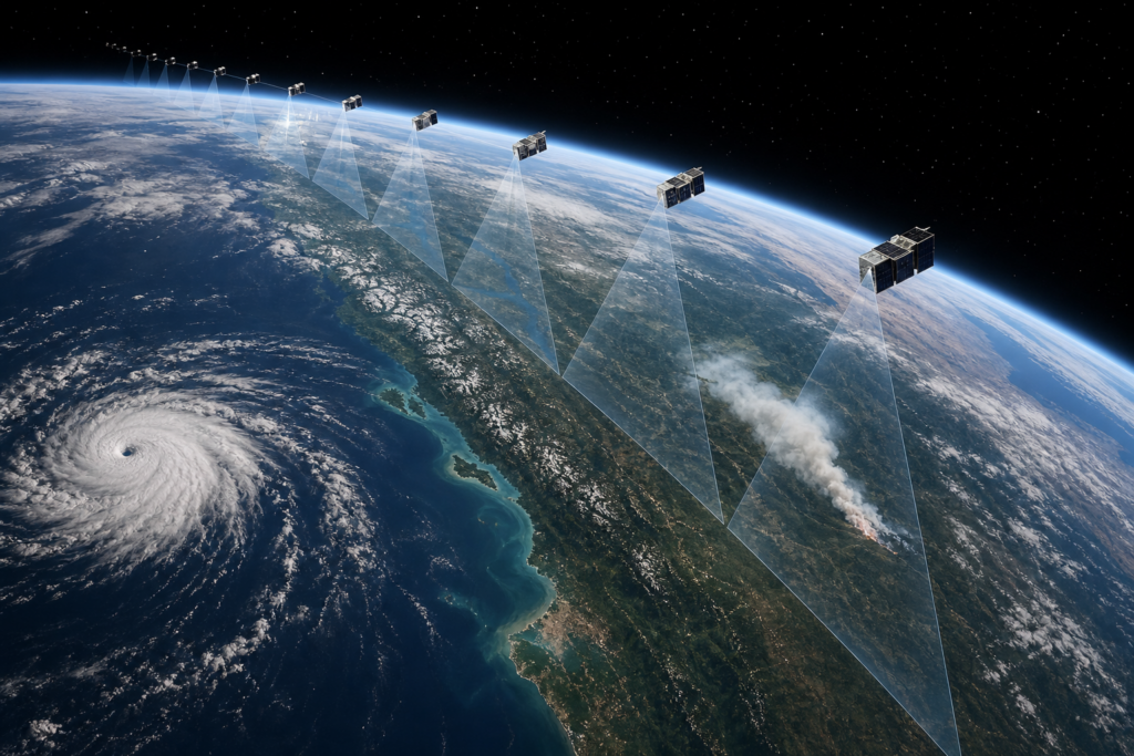
Small satellites are changing how we watch the Earth. Instead of waiting days for one big satellite to pass over an area, networks of tiny spacecraft can capture scenes more often, share near real-time satellite data, and help responders act faster during floods, wildfires, and earthquakes.
Small satellite constellations for Earth observation and disaster response: benefits, coverage, use cases
What is a small satellite constellation, and how is it different from a single large satellite?
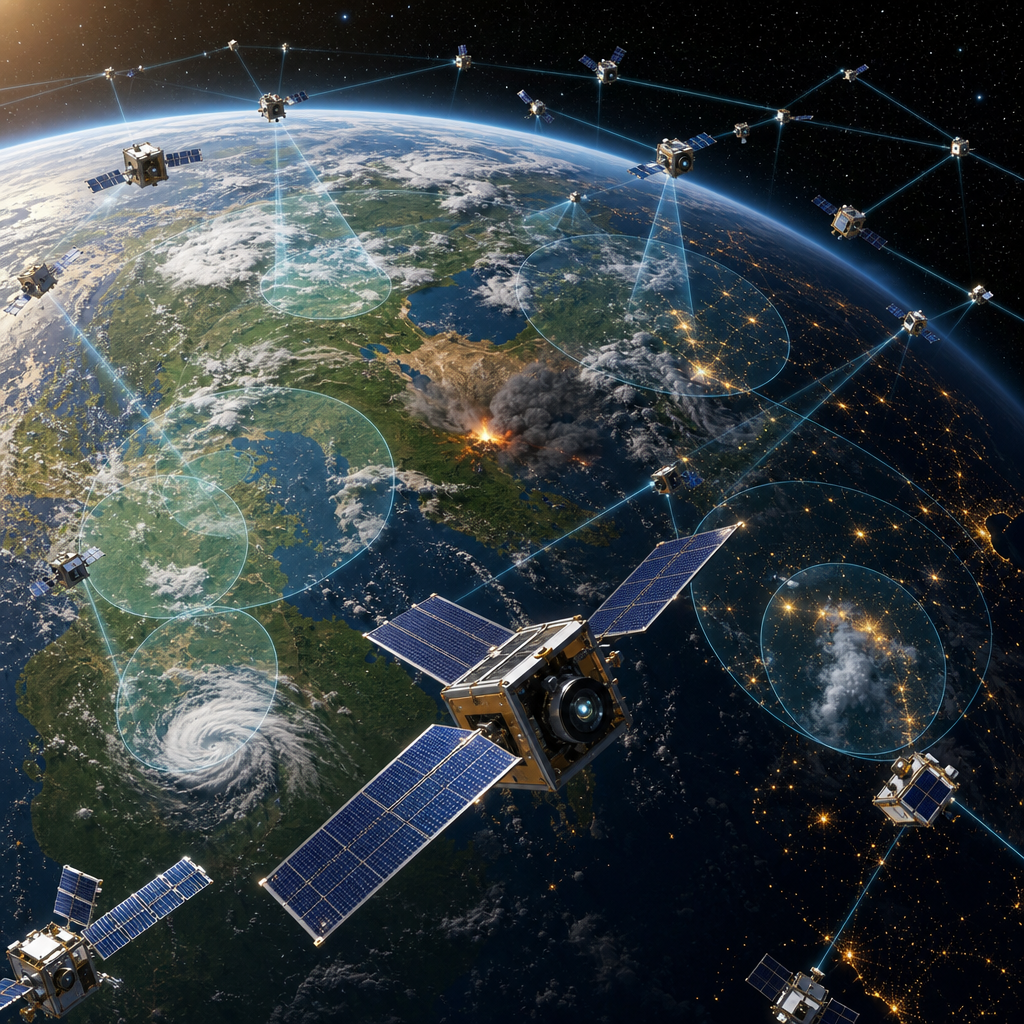
A small satellite constellation is a coordinated fleet of Earth observation satellites—often CubeSats and nanosatellites—spread across multiple orbits. Together, they trade the deep capability of one large, expensive spacecraft for frequent coverage, flexible tasking, and resilience. Operators can launch upgrades more often, swap in specialized sensors (optical, radar/SAR, hyperspectral, thermal), and maintain service even if one satellite fails.
| Aspect | Small satellite constellation | Single large satellite |
|---|---|---|
| Coverage & revisit | High cadence over many locations; shorter satellite revisit time | Less frequent passes; wider swath per pass |
| Resilience | Redundancy across many units | Single point of failure |
| Tasking speed | Low-latency tasking increasingly common | Stable schedules, limited agility |
| Cost path | Incremental upgrades; frequent launches | High upfront cost; long development |
| Sensor variety | Mix of optical, radar (SAR), hyperspectral, thermal | Usually one or a few instruments |
| Image quality | Improving; some approach sub-meter in optical and fine SAR modes | Often highest radiometric stability and calibration |
How do small satellite constellations help during floods, wildfires, and earthquakes?
- Floods: Radar imaging satellites (SAR) see through clouds and at night to map flood extent and monitor levees. Commercial products, such as ICEYE’s Flood Rapid Impact, aim to deliver extent maps within hours of onset. Optical satellites add detail when skies clear for damage assessment.
- Wildfires: Thermal and optical smallsats detect hotspots and map burn scars. Specialized CubeSats, like OroraTech units in Greece’s Hellenic Fire System, focus on early fire detection and tracking; optical data then supports perimeter mapping and recovery.
- Earthquakes and landslides: SAR pairs can detect ground deformation and surface change. Missions like NASA–ISRO’s NISAR (launched 2025) provide L/S-band data useful for fault motion, landslide detection, and infrastructure monitoring. Optical imagery supports building-by-building damage checks when conditions allow.
Critically, these products complement—never replace—local responders, aircraft, and ground sensors.
What image resolution and revisit rates can users expect?
Expect variety by sensor and provider. In optical systems, commercial smallsat fleets now include high-resolution units, with Planet’s Pelican-11 (launched July 7, 2026) validating next‑gen capabilities targeting around the 30 cm class. SAR constellations provide multiple modes balancing resolution and coverage; some modes emphasize fine detail, others wide swaths for rapid mapping. Revisit and delivery times depend on orbit, tasking, downlink, and processing: many locations can be observed multiple times per day, and some operators (e.g., Capella via Inmarsat links) support low-latency tasking for faster turnaround. For most users, same-day to next-day delivery is common during active events, with faster timelines in well-prepared programs.
Optical vs. SAR: when to use each?
- Optical (multispectral/hyperspectral): Best for clear-sky detail, materials, vegetation health, and color imagery. Hyperspectral systems like Planet’s Tanager‑1 and upcoming ESA CHIME add facility-scale mapping of gases and surface composition. Limitation: clouds, heavy smoke, and nighttime block optical imaging.
- Radar (SAR): Active radar works day or night and through clouds, haze, and smoke. Ideal for flood mapping, surface water change, subsidence, and deformation. Limitation: interpreting SAR requires expertise; layperson visuals may be less intuitive than photos.
In practice, analysts fuse both—use SAR for assured coverage, optical for context and classification.
Practical use case: rapid flood mapping workflow
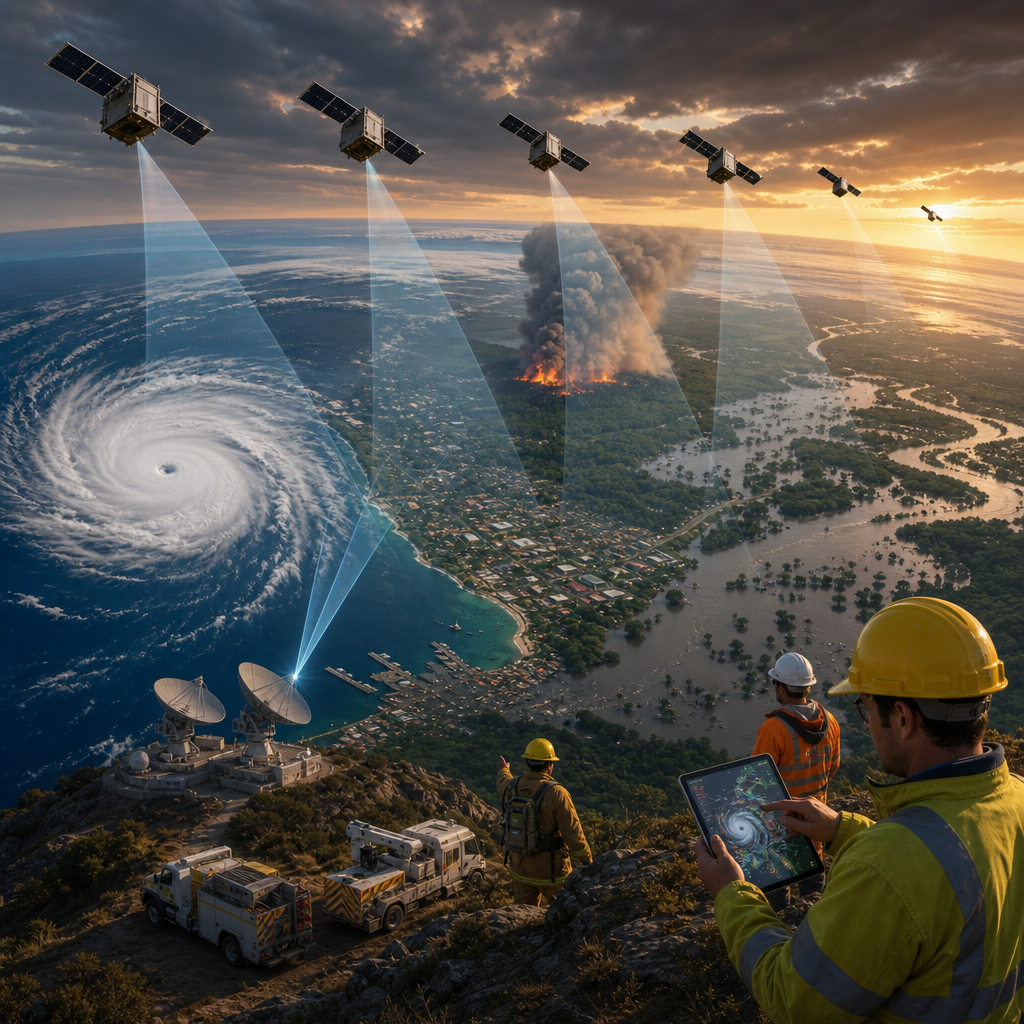
- Trigger and tasking: An agency activates a flood response. SAR satellites are tasked for the next available pass; optical collections are queued for when weather allows.
- Acquisition and processing: SAR scenes are processed into water masks; services like ICEYE’s rapid products target delivery within roughly 6–12 hours of event onset in favorable scenarios.
- Fusion and delivery: When skies clear, optical images refine damage and debris assessments. Open standards like STAC (OGC Community Standard, 2025) and CEOS Analysis‑Ready Data help teams blend sources and publish to portals (e.g., Copernicus EMS, NASA’s Disasters Mapping Portal).
- Operational use: Maps guide evacuations, road closures, and relief logistics; updates track flood recession and recovery.
Access and affordability: how students, NGOs, and startups can get imagery
- Open data: Sentinel (Copernicus) and Landsat imagery are free and widely used baseline Earth observation satellites for disasters and environmental monitoring.
- Disaster mechanisms: The International Charter provides satellite imagery for disasters via authorized users; its 2024 annual report highlighted record activations.
- Research access: NASA’s Commercial Satellite Data Acquisition (CSDA) program (June 18, 2026 on‑ramp) expanded vendors for research and decision support; some datasets are available to approved researchers. NOAA’s Commercial Data Program buys radio‑occultation and, in 2026, passive microwave sounder data (Tomorrow.io, OMS) for weather models.
- Vendor programs: Many commercial providers run education, NGO, and disaster-response access programs. Terms vary; always review licensing and redistribution rights.
- Tools and portals: Look for STAC-enabled catalogs and ARD products to streamline discovery and analysis. For background on tech topics, visit our Technology Page or explore curated titles on Books.
Privacy and regulatory notes: Export controls, national “shutter control,” sanctions, and civilian privacy laws can limit access to satellite imagery or high-resolution data in some regions. Always check local rules and provider terms.
Risks and challenges
- Space debris and congestion: More satellites mean stricter traffic management and responsible end‑of‑life disposal.
- Spectrum and ground segment capacity: High data volumes compete for bandwidth and can delay downlinks without adequate infrastructure.
- Data overload and skills gaps: Rapid streams require trained analysts and reliable workflows; automation helps but does not replace human expertise.
- Satellite imaging limitations: Optical cannot see through cloud/smoke; SAR needs specialized interpretation. Event timelines, clouds, and licensing can delay access.
- Equity and licensing: Not all commercial data are free; terms may restrict sharing or derivative works.
Future outlook: 2025–2028
- All‑weather capacity: ESA’s Sentinel‑1 replenishment and Next Generation, plus NISAR L/S‑band data, expand hazard and change detection.
- Low‑latency operations: Inter‑satellite links and agile tasking (e.g., Capella) push toward faster alerts for time‑critical events.
- Higher resolution and new spectra: Planet’s Pelican line targets higher-res optical; hyperspectral missions (Tanager‑1, ESA CHIME) move from demo to operations for environmental and emissions monitoring.
- Specialized constellations: Dedicated fire, flood, and thermal fleets emerge, offering tailored products.
- Interoperability: STAC and CEOS ARD continue to simplify multi-sensor fusion across public and commercial sources.
Key capability trends for small EO constellations in disaster response
This visual uses relative trend strength, not exact market statistics.
Regional landscape for small EO constellations and disaster response
A simple regional view of where this trend can create impact.
Large commercial operators field mixed optical/SAR fleets; strong launch and ground networks enable rapid tasking and delivery for wildfire, hurricane, and flood response; robust public–private programs and open disaster activations; export rules shape partnerships.
Copernicus backbone with active smallsat startups; leadership in SAR and environmental services; stringent data-sharing and sustainability rules; responsive imaging for floods, fires, and landslides; launch access improving.
Fast-growing constellations and national missions; frequent typhoons, floods, and volcanic events drive demand; solid domestic launch in several states and expanding ground stations; maritime monitoring and coastal resilience are priorities.
High impact potential for agriculture, drought, and flood early warning; increasing access via regional partnerships and commercial tasking credits; affordability, spectrum licensing, and ground capacity remain challenges; training and local integration efforts rising.
Adoption timeline for small satellite constellations in disaster response
-
Now
Daily global coverage from small optical and SAR constellations; emergency tasking within hours; wildfire heat spotting and flood mapping in active use; open crisis data via international charters; tighter debris-mitigation baselines. -
Next 2-3 years
Sub-hour revisit over hotspots using denser fleets; wider deployment of thermal and hyperspectral smallsats; more low-latency delivery through inter-satellite relays and expanded ground networks; common disaster data products and alert protocols adopted by agencies. -
Long term
Near-persistent regional monitoring with responsive tasking windows of minutes; seamless multi-constellation interoperability and global relay coverage; resilient buses with maneuverability and end-of-life disposal; routine integration into national emergency operations and climate adaptation services.
FAQ
Can satellites provide “live” views everywhere?
No. Despite frequent coverage, there is no true continuous, real-time global video. Coverage depends on orbits, tasking, downlink, and processing.
Should I pick optical or SAR for a cloudy, night-time event?
Pick SAR for assured imaging through clouds and in darkness; add optical later for visual detail and classification when conditions allow.
How quickly can I get disaster imagery?
Best cases can be hours with well-prepared tasking and ground systems, but timelines vary. Many activations deliver same-day or next-day products; not all situations support rapid release due to weather, capacity, or licensing.
Further reading
- NASA CSDA on‑ramp expands commercial data for research and disasters (June 18, 2026)
- NOAA awards commercial microwave sounder data buys for forecasting (June 18, 2026)
- International Charter: 2024 Annual Report
- NOAA Commercial Data Program solicitations (overview)
- Spire radio‑occultation data for NOAA